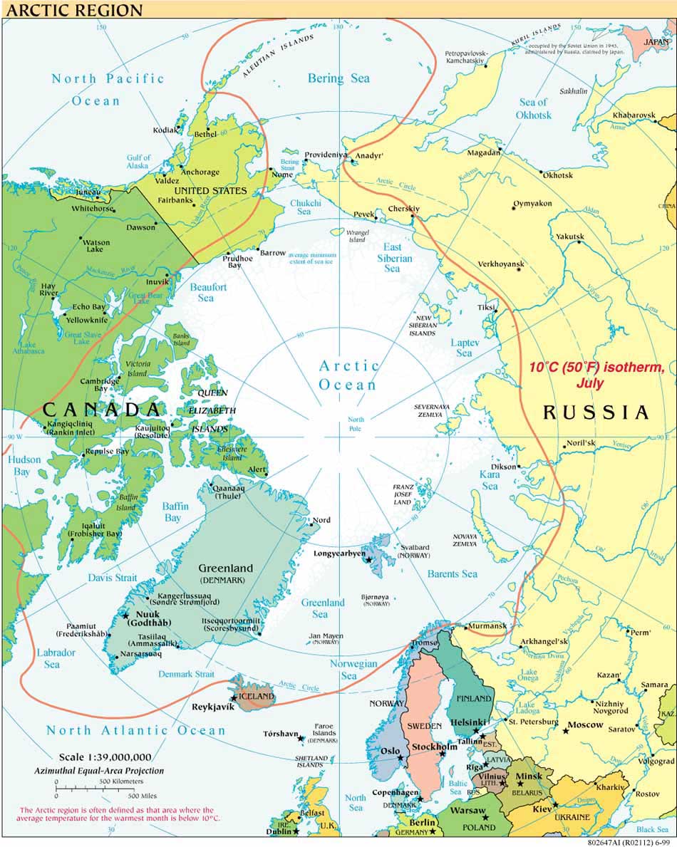
Canada and the United States have long agreed to disagree about the location of their shared maritime boundary in the Arctic’s Beaufort Sea. The disputed area involves some 6,250 square nautical miles (21,436-square kilometres) north of the Alaska/Yukon border. Diplomats from both countries consistently describe the disagreement as “well-managed.”
On February 17, 2010, Catherine Loubier, a spokeswoman for Canada’s Department of Foreign Affairs and International Trade, told Canwest News Service that "Canada favours a resolution of the dispute. The issue has been well-managed by Canada and the U.S. and will be resolved on its own merits when both parties are ready to do so." Speaking of the joint Canadian-U.S. continental shelf mapping cruises in summers 2008 and 2009* she observed: "The information collected so far suggests there may be a potential overlap of the Canadian and U.S. extended continental shelves in this area” and that the "extent of the overlap is not yet known. It may make sense to resolve the maritime boundary and any extended continental shelf overlaps at the same time."
For one map of the disputed area, see David H. Gray, Canada’s Unresolved Maritime Boundaries, IBRU Boundary and Security Bulletin Autumn 1997, p. 63.
For the full news report see Beaufort Sea Breakthrough.
For possible approaches to the dispute see "Filling an Arctic Gap: Legal and Regulatory Possibilities for Canadian-U.S. Cooperation in the Beaufort Sea".
For articles discussing other legal and political aspects of Canada's Arctic seabed, see volume 34, Vermont Law Review (2009).
*The joint Canadian-US mapping cruises are detailed throughout this blog (see links in the right hand margin), at the US ECS Project website, and at the Center for Coastal and Ocean Mapping-Joint Hydrographic Center at University of New Hampshire/NOAA website.


