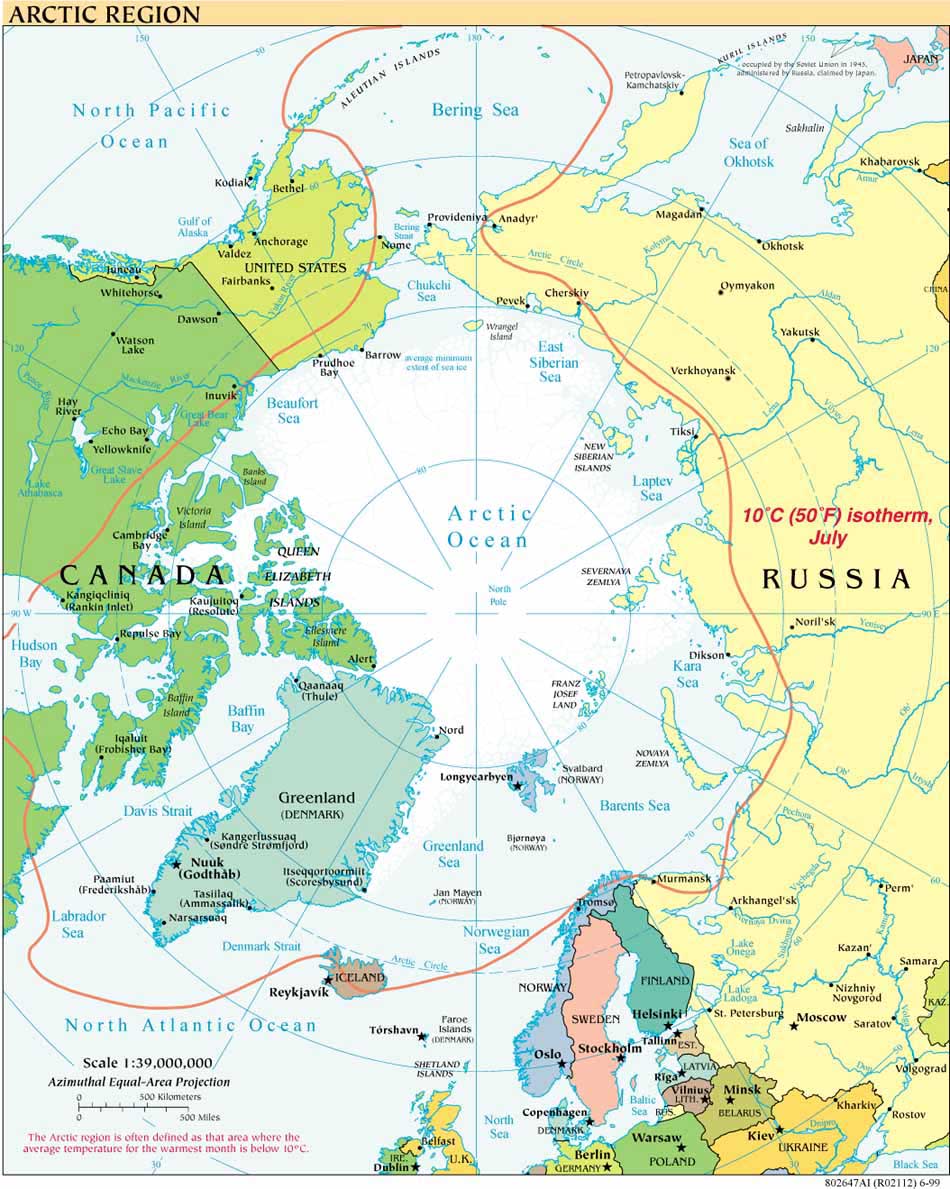
UPDATE 7 JUNE 2011 - TREATY RATIFIED, WILL ENTER INTO FORCE 7 JULY 2011:
Russia and Norway have now both ratified their treaty "concerning Maritime Delimitation and Cooperation in the Barents Sea and the Arctic Ocean, which will enter into force on July 7, 2011. See Norway, Ministry of Foreign Affairs, Press release, June 7, 2011, "Norway and Russia ratify treaty on maritime delimitation."
UPDATE 15 SEPTEMBER 2010, MURMANSK:
Norway and Russia sign the "Treaty between the Kingdom of Norway and the Russian Federation concerning Maritime Delimitation and Cooperation in the Barents Sea and the Arctic Ocean." The press release from the Office of the Prime Minister of Norway also links to the Norwegian (Overenskomst mellom Kongeriket Norge og Den Russiske Føderasjon om maritim avgrensning og samarbeid i Barentshavet og Polhavet) and Russian (Читайте текст Договора на русском языке) language originals of the agreement, as well as an English language translation and a map of the agreed delimitation.The following press release is courtesy of the IBRU int-boundaries discussion list. Other reports appear in Prime-TASS, the New York Times and the Associated Press.
http://www.norwaypost.no/news/stoltenberg-a-historic-day.html
BEGIN QUOTE
Stoltenberg: - A historic day!
Tuesday, 27 April 2010 12:03
An agreement has been reached between the Norwegian and the Russian negotiating delegations on the bilateral maritime delimitation in the Barents Sea and the Arctic Ocean.
This was annouced by Norwegian Prime Minister Jens Stoltenberg at a joint press conference with Russian President Dimitrij Medvedev on Tuesday.
“This is a historic day. We have reached a breakthrough in the most important outstanding issue between Norway and the Russian Federation,” said Prime Minister Stoltenberg.
The agreement was officially announced later Tuesday in a joint statement by the Foreign Ministers of Norway and the Russian Federation. It is based on the joint statement, which Prime Minister Stoltenberg and President Medvedev will sign later in the day.
According to the joint statement, the two negotiating delegations have reached agreement on the maritime delimitation between Norway and the Russian Federation in the Barents Sea and the Arctic Ocean, which has been the object of extensive negotiations over the last 40 years. The negotiations have now been completed, but some technical control work remains before the final treaty is ready for signature. After that it will be put before the two countries’ national assemblies.*
“The agreement is the result of meticulous efforts on the basis of international law, and is an expression of the great importance attached to international law by Norway and the Russian Federation as coastal states. The negotiated solution appears to be well balanced and will
benefit both our countries,” said Prime Minister Stoltenberg.
The recommended solution involves a maritime delimitation line that divides the overall disputed area of about 175 000 square kilometres in two parts of approximately the same size. In addition to a maritime delimitation line, the two delegations recommend the adoption of treaty provisions that would maintain and enhance cooperation with regard to fisheries and management of hydrocarbon resources In the field of hydrocarbon cooperation, the two delegations recommend the adoption of detailed rules and procedures ensuring efficient and responsible management of their hydrocarbon resources in cases where any single oil or gas deposits should extend across
the delimitation line.
“Agreement on the maritime delimitation line opens up new prospects for cooperation in the north on resources, trade and industry, employment opportunities and people-to-people cooperation across our common border. This is a historic day, especially for our populations in the north. I want to extend my thanks to our two Foreign Ministers and the negotiators for their extensive efforts, which have now proved successful,” said Mr Stoltenberg.
END QUOTE (*emphasis added)
Thanks to Ilan Kelman for posting to the IBRU int-boundaries discussion list.


