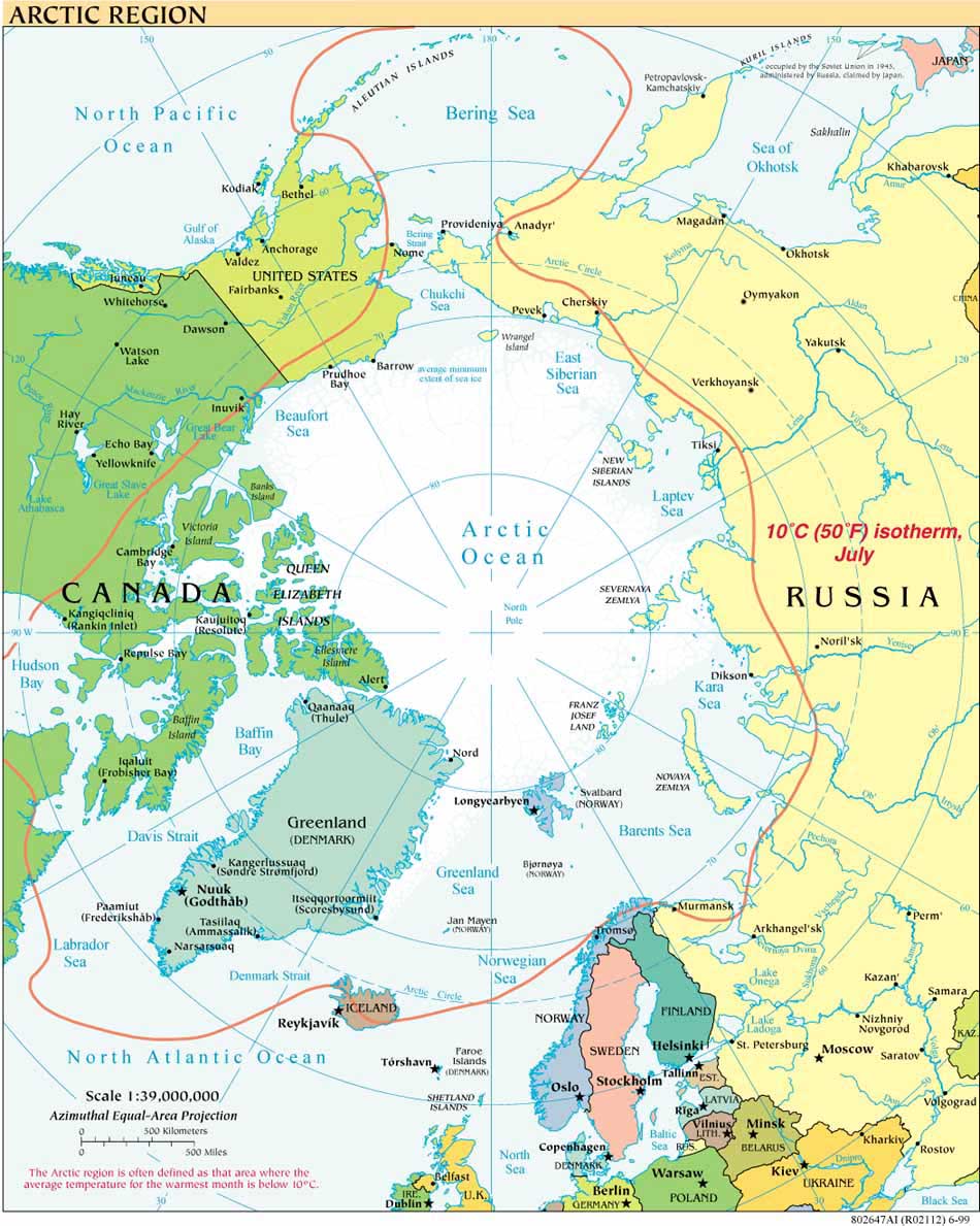
The icebreakers USCGC Healy and CCGS Louis S. Saint-Laurent are scheduled to sail together again this summer, continuing the bilateral Canadian-US cooperation in mapping the extended continental shelf (ECS) in the Arctic Ocean. This summer’s joint efforts will focus on the Canada Basin.
The Healy ECS mapping cruise is scheduled from August 2-September 2, 2010, so as to coincide with the Louis’ schedule.The Healy’s proposed cruise track and proposed cruise plan are both posted on icefloe.net which provides science planning information for the U.S. icebreaker fleet. The U.S. Chief Scientist for HLY 1002 is Brian Edwards of the U.S. Geological Survey, Western Coastal & Marine Geology Program.
General information on the Canadian ECS effort is available from the Ministry of Foreign Affairs and International Trade (DFAIT). As reported by both DFAIT and in the media, this spring Canadian scientists have also been gathering data for Canada's ECS submission from their base at the Borden Island Ice Camp, in Canada’s western Arctic archipelago. In April they first deployed a Canadian-made autonomous underwater vehicle (AUV), the Arctic Explorer, designed and built by International Submarine Engineering Ltd (ISE) of Port Coquitiam, B.C. Media reports tell of the AUV obtaining detailed multi-beam images of the Sever Spur on a three-day deployment. The Arctic Explorer is one of two such AUVs that Canada acquired in September 2009 to map its Arctic seabed and is equipped with a 200 kHz multi-beam sonar.
Canada is expected to make its submission to the Commission on the Limits of the Continental Shelf in December 2013, so as to meet its deadline under the UN Convention on the Law of the Sea. The United States has not yet acceded to the Convention.


