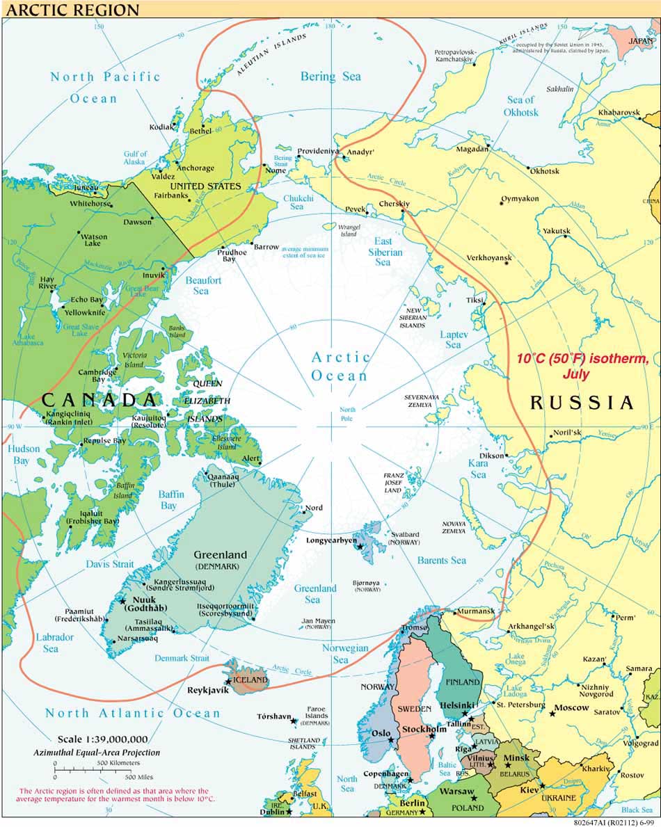
The LOS mapping crew disembarked USCG Healy on 5 September after three weeks at sea, escaping the worst of quite a storm that was brewing to our north off of the Russian coastline. Just as at the start of the trip, we were transferred by helicopter between ship and shore to the North Slope Borough Search and Rescue hangar in Barrow, the northernmost town in the US.
Barrow, AK is home to over 4,000 people and to the BASC - the Barrow Arctic Science Consortium. With funding from the National Science Foundation's Office of Polar Programs, BASC encourages and provides logistical support for Arctic research. Its research and education initiatives pertain to Alaska's North Slope, the Arctic Ocean off of the North Slope, and Chukotka, Russia. BASC is the successor in a line of institutions that began with the Naval Arctic Research Laboratory founded by the Navy in 1947, although the US research presence in Barrow traces sporadically back to the late 19th century.

Above: accommodations the last night in Barrow: luxury quonset hut on the BASC campus
BASC shares it main building a few short miles out of town on one of Barrow's dirt roads, with the local community college, Sivunmun Ilisagvik Arctic College, and the Mayor's Workforce Development Programs. Ilisagvik is a two year tribal college "dedicated to perpetuating and strengthening Inupiat (Eskimo) culture, language, values and traditions.

The Arctic Summer was nearing its end as we returned to Barrow. The tundra was turning to shades of reds and heather, a fall foliage beautiful in its own spare way.


