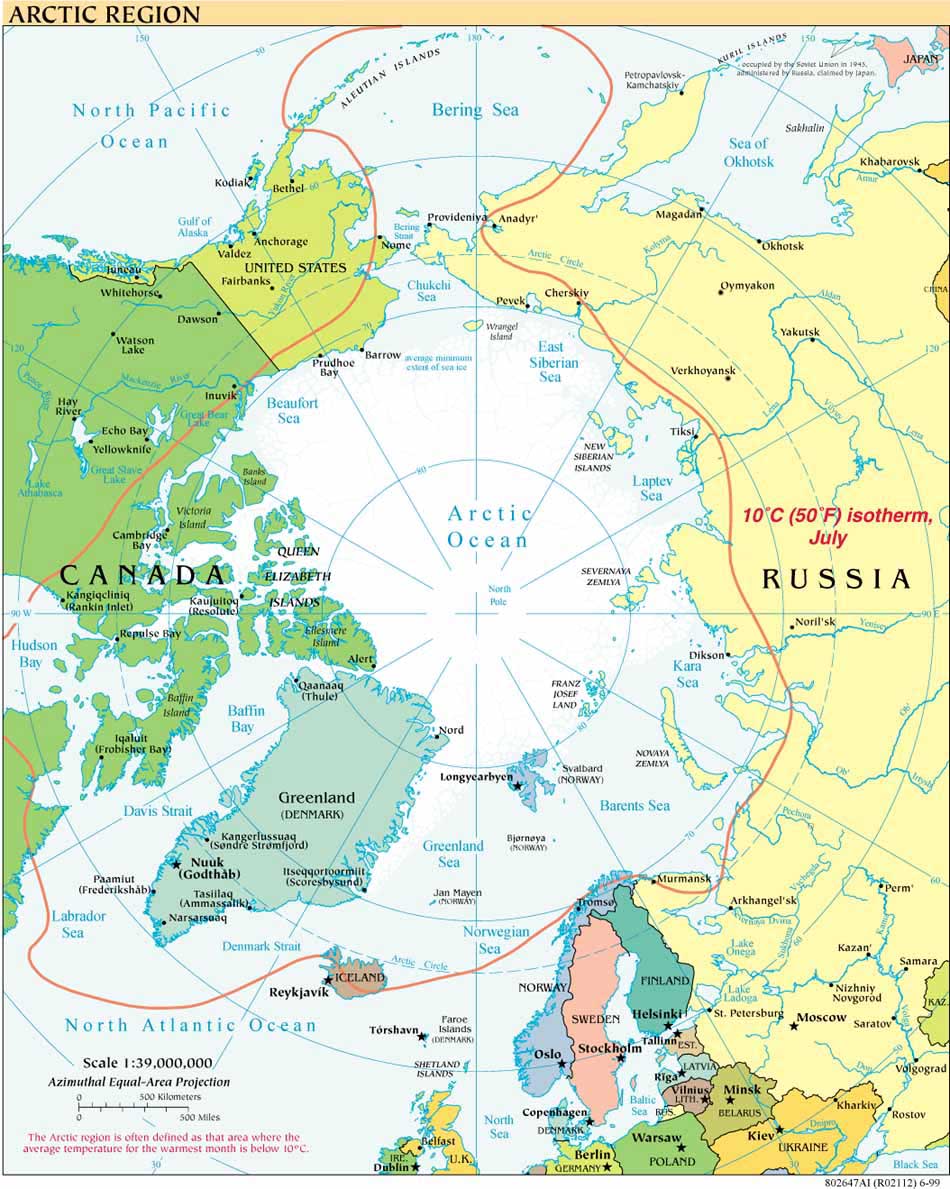
The summer 2007 mapping cruise of the
USCGC Healy, and the meticulous and stunning work of Larry Mayer and the
Center for Coastal and Ocean Mapping/UNH-NOAA Joint Hydrographic Center are featured in the
May 2009 National Geographic article "Arctic Landgrab", by McKenzie Funk. Of particular note is Mayer's
vivid and elegant image of multibeam sonar tracks gathered on Healy mapping cruises from 2003-2008. Mayer was also one of five consultants for the issue’s remarkable pull-out map of the Arctic Ocean, together with Kelley Brumley (University of Alaska Fairbanks/Stanford), Elizabeth Miller (Stanford University), Martin Pratt (University of Durham International Boundaries Research Unit) and Peter Vogt (UC Santa Barbara). The map is available with the May issue at newsstands but not yet online. Detailed study of just this one map reveals much about the relatively little that is known about the geomorphology and bathymetry of the Arctic Ocean. A comparison to earlier maps provides an even clearer sense of how rapidly knowledge of the Arctic Ocean is changing, see, e.g. the
2008 International Bathymetric Chart of the Arctic Ocean and the 1975
Bruce Heezen/
Marie Tharp map of the Arctic Ocean Floor. National Geographic makes an earlier geophysical map of the Arctic Ocean, from its 2002 atlas, available online
here.
The Mare Glaciale region, some 440 years ago:

Map of the North Atlantic region, Sigurdur Stephansson (1570), published in The Geology of North America, Vol. L, The Arctic Ocean region, The Geological Society of America, 1990, p. 7.


