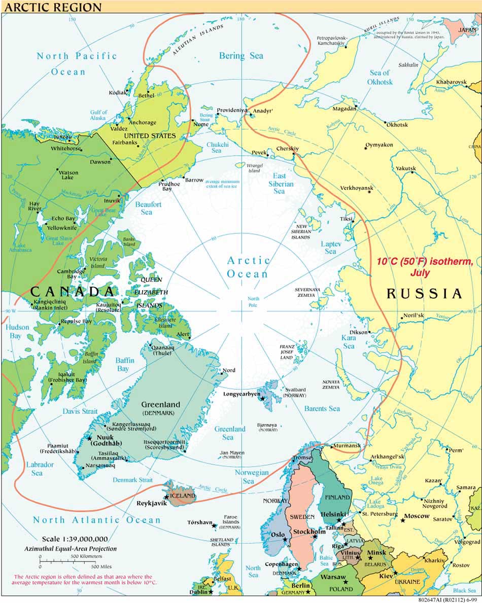
On 22 June 2009, the London-based Royal United Services Institute (RUSI) published a noteworthy article by Alastair Cameron, “The Arctic Uncovered: Refuting the Last Colonial Grab Theory.” The article (summarized here) appears in the institute’s monthly Newsbrief and is available for purchase at the RUSI website.
The article makes a short but useful contribution to correcting the rampant misconceptions in the media and elsewhere that the circumpolar Arctic states are heading for conflict or engaged in some form of land grab. Cameron disagrees that an “energy free-for-all” is underway in the Arctic, pointing to the fact that many of the major petroleum fields identified by the USGS in recent studies are believed to be within Russia’s EEZ. He lays out the orderly legal process by which states are gathering data under the Law of the Sea Convention for submission to the Commission on the Limits of the Continental Shelf; and speaks of “spirit of international co-operation which has so far been fostered through the Arctic Council and the Ilulissat Declaration.” He counters perceptions of a military buildup by speaking of the special challenges in the Arctic, observing that these are “best tackled in partnership” yet also speaks of the special and difficult relationship between NATO and Russia, querying what role the alliance should have in the High North. The complete article expands cogently but significantly on each of these points.
Camreron is Head, European Security Programme, of RUSI, which is self-described as an “independent think tank engaged in cutting edge defence and security research.” RUSI is based in London, with offices in Doha, Qatar and Washington, D.C.


