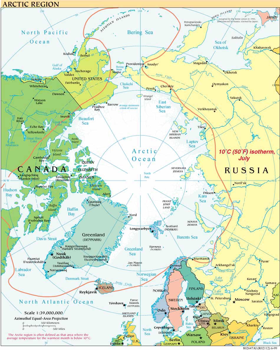
The Canadian Ministries of Foreign Affairs, Natural Resources and Fisheries and the U.S. Department of State, Office of Ocean and Polar Affairs, have released the details of the joint icebreaker mission to map portions of the Arctic Ocean continental shelf (reported on in last week’s entry). See the State Department announcement and reports of the Canadian statement.
Canadian Minister of Foreign Affairs Lawrence Cannon, Minister of Natural Resources Lisa Raitt and Fisheries Minister Gail Shea all emphasized the exceptional partnership between the two countries, Shea also touching on the millions of dollars each country saves by working together on mapping the Arctic Ocean.
Readers who also subscribe to Caitlyn Antrim’s Ocean Law Daily will already know of the new Canadian Northern Strategy report and supporting website, launched this month.
Press reactions are already flowing in on both the joint mapping details and the Northern Strategy. Not suprisingly, the Canadian press is devoting much more attention than its U.S. counterparts to these developments. The New York Times report ties the mapping story to the Obama administration’s desire to ratify the Law of the Sea Convention.
Arctic Shipping: Also in the NYT (DotEarth blog) this week are reactions to Andrew Revkin's story about Trans-Arctic shipping. Traffic is increasing, as documented formally by the Arctic Council's AMSA (Arctic Marine Shipping Assessment 2009) as well as anecdotally. According to an audio report from Alaska Public Radio Network, as transmitted by the Top of the World Telegraph, the waters off of Barrow, which has no deepwater port, are crowded this week: "At least one icebreaker and three sailboats attempting to navigate the


