skip to main |
skip to sidebar
Operating in Tandem
A year ago, on the HLY0805 leg of Arctic Summer West, after three weeks we had completed our mapping for the summer and were preparing to pack up and disembark. This year, as we enter our fourth week on board HEALY for 0905, we still have the luxury of two and half weeks to continue our work with the Canadian LOUIS S. ST-LAURENT. I continue to marvel at how different one day is from the next, even as we keep a routine watch and regimented daily schedule. And even as the weather has been an almost unbroken string of fog-filled days and nights. Visibility waxes and wanes, but a number of you following the photos on the Aloft Con camera (see link upper right) have commented on the, well, “consistency” of our weather.
 Left: The Louis S. St-Laurent seen through the fog
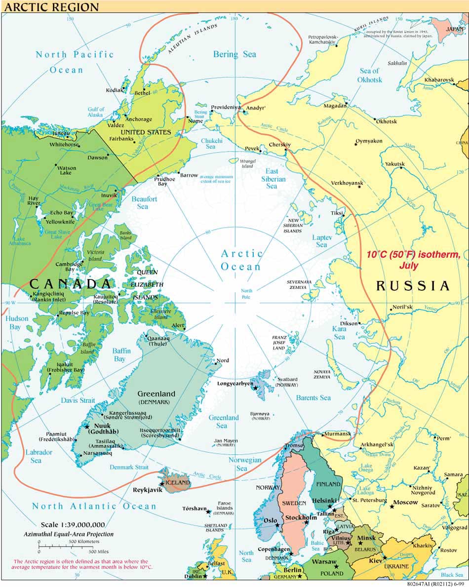
The weather is in stark contrast to the brilliantly clear, light-infused days of HLY0805 and is revealing a different – and evidently more typical – picture of August weather in this part of the Arctic Ocean: fog and more fog, snow, some rain, sleet and, more rare, hoar frost. Tookaq Neakok, the community observer from the North Slope Borough who also traveled with us last year, says his family back on shore is reporting rain in Barrow. Ice conditions have been generally acceptable for mapping (you can see our tracks using the upper right links) both near the Chukchi Cap and across the Canada Basin, northward to our northernmost point on 2009-08-28 (roughly 122º70’044 W 84º22’211 N). Nonetheless it has been especially useful on the northern portion of our joint track to have the ability to break ice for one another. Helo transfers of Coast Guard and scientific crew between ships have also been fruitful.
Icebreaking into the Arctic
The USCGC HEALY embarked Barrow, Alaska, in August 2008 to map the US extended continental shelf, or ECS, in the Arctic Ocean (HLY 0805). Healy sailed again from 7 August to 16 September, 2009 (HLY 0905) to continue ECS mapping, joining with the Canadian icebreaker, the Louis S. St.-Laurent. The two vessels mapped together again in 2010 (see HLY1002) and 2011 (HLY1102).
As the only law professor on the science crew, I was along on HLY 0805 and 0905 to better understand the science behind the legal process that the UN Convention on the Law of the Sea establishes for states making ECS submissions. As to why the US is mapping now, even though it has not yet acceded to the Convention, read on both here, and in the Law of the Sea notes below.
Thanks to Vermont Law School and especially to Larry Mayer, Director of the University of New Hampshire's Center for Coastal and Ocean Mapping, for making my part in the trip possible.
Thanks, as well, to Adriane Colburn, for opening new windows on and for the deep.
 Left: The Louis S. St-Laurent seen through the fog


