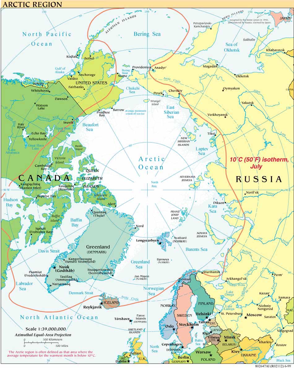
One month ago, the five arctic coastal states of Canada, Denmark (Greenland), Norway, the Russian Federation and the United States, established the Arctic Regional Hydrographic Commission (ArHC). The International Hydrographic Organization has posted the Statement of the Arctic Regional Hydrographic Commission on the IHO website.
The Arctic Regional Hydrographic Commission, or ArHC, is the 15th such regional commission established since the founding of the IHO in 1921, joining 14 other RhCs and the IHO Hydrographic Committee on Antarctica.
The Statement of the ArHC provides in part:
"Due to climate change the Arctic is undergoing extraordinary transformations facilitating increased natural resource development and marine traffic at a time when little reliable data exists. At present, less than 10% of Arctic waters are charted to modern standards. To meet current and emerging challenges, the Arctic Coastal States represented by their Hydrographic Offices, have recognized the need for enhanced collaboration and coordination of their activities.
By exchanging knowledge and information and by providing quality assured data, the Members of the ARHC aim to facilitate an environmentally responsible exploration of Arctic waters."
The IHO is an intergovernmental and technical organization established in 1921 "to support safety of navigation and the protection of the marine environment."
September 2011 UPDATE: Information on the Second Meeting of ARHC is available here.


