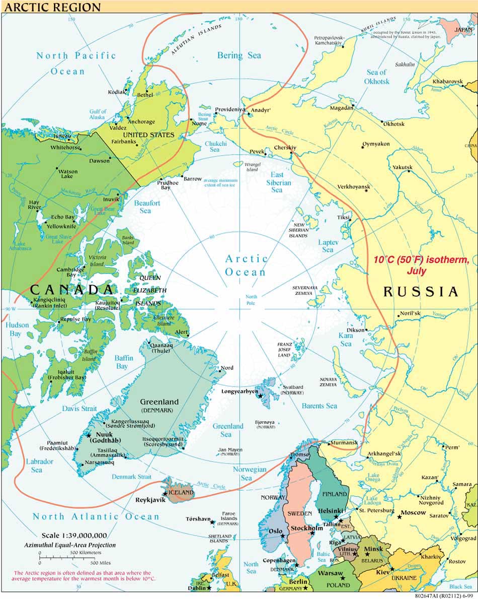
Two years ago, in May 2009, the Arctic Council PAME (Protection of the Arctic Marine Environment) Working Group issued the Arctic Marine Shipping Assessment. AMSA, a wide-ranging study and must-read for anyone interested in the increasing human uses of the Arctic Ocean, also highlights the inadequacy of navigational charts for various parts of the Arctic Ocean.
This week NOAA's Office of Coast Survey embarked on a charting cruise that is part of a broad-scale NOAA effort to update its charts of the Arctic Ocean, some of which date to before the United States' 1867 acquisition of Alaska. For more on the work of the NOAA Ship Fairweather visit the NOAA home page under news. The story contains a link to the "Arctic Nautical Charting Plan - A Plan to Support Sustainable Marine Transportation in Alaska and the Arctic" issued by the NOAA Office of Coast Survey Marine Chart Division on June 1, 2011.
Arctic Policies and Declarations
- Arctic Strategies and Policies: Inventory and Comparative Study (NRF, L. Heininen)
- Geopolitics in the High North: National Arctic Strategy Documents
- Arctic Policies: Regional and National
- A Circumpolar Inuit Declaration on Sovereignty in the Arctic 2009
- A Circumpolar Inuit DeclaratIon on Resource Development Principles in Inuit Nunaat 2011
- Ilulissat Declaration 2008
- Arctic Governance Project
- Ron MacNab, "A Tale of Two Cities: Washington, Ottawa, and Arctic Governance" (p. 22-28) CPC 2009
Icebreaking into the Arctic
The USCGC HEALY embarked Barrow, Alaska, in August 2008 to map the US extended continental shelf, or ECS, in the Arctic Ocean (HLY 0805). Healy sailed again from 7 August to 16 September, 2009 (HLY 0905) to continue ECS mapping, joining with the Canadian icebreaker, the Louis S. St.-Laurent. The two vessels mapped together again in 2010 (see HLY1002) and 2011 (HLY1102).
As the only law professor on the science crew, I was along on HLY 0805 and 0905 to better understand the science behind the legal process that the UN Convention on the Law of the Sea establishes for states making ECS submissions. As to why the US is mapping now, even though it has not yet acceded to the Convention, read on both here, and in the Law of the Sea notes below.
Thanks to Vermont Law School and especially to Larry Mayer, Director of the University of New Hampshire's Center for Coastal and Ocean Mapping, for making my part in the trip possible.
Thanks, as well, to Adriane Colburn, for opening new windows on and for the deep.


