A new viewer allows anyone with access to the internet to view high-resolution bathymetric and other data depicting information about the world's oceans, seafloor and continental shelves. The US National Oceanic and Atmospheric Administration (NOAA) makes the information available through its Marine Geology and Geophysics Division in Boulder, Colorado, part of NOAA’s National Geophysical Data Center (NGDC).
An independent report on the new viewer observes that "NGDC’s sea floor data have long been free and open to the public in original science formatting, but that often required the use of specialized software to convert the data into maps and other products. "For serious scientists, the new viewer allows an important preview capability that will help speed data access and analysis. But its real power is exposing a new audience to NOAA data," said Dan Price, bathymetric program manager at NGDC."
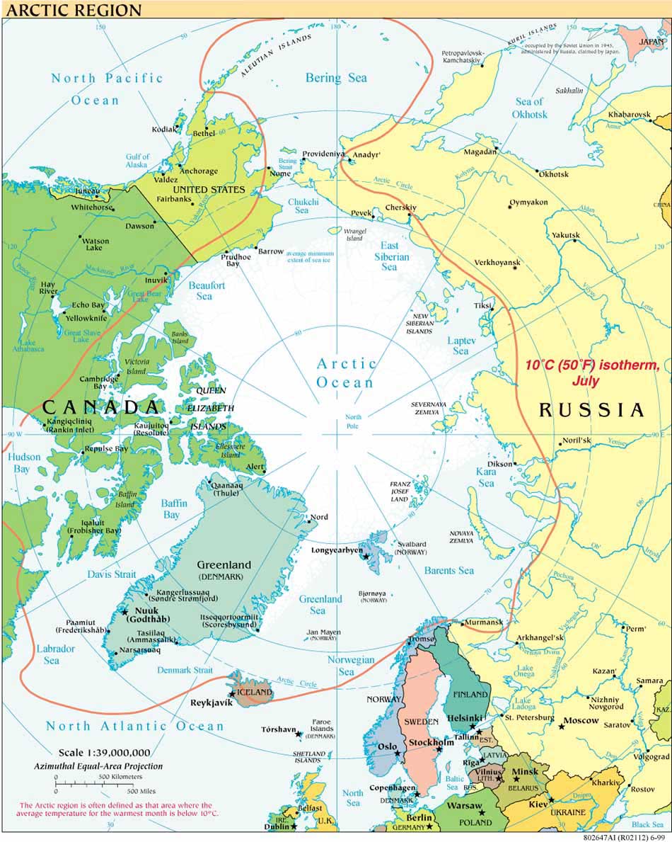
The maps can be viewed in Mercator and Arctic Projection and are available here.


