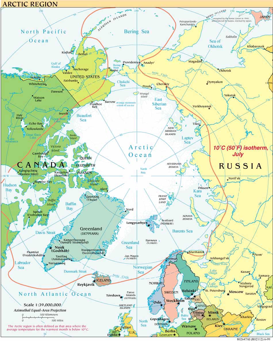
GCaptain and others report that on Friday, April 18, Gazprom Neft shipped the first 70,000 metric tons of "Arctic Oil" from its Prirazlomnoye platform. Platts reports that the Prirazlomonoye field, some 60 km offshore the Pechora Sea, "is expected
to reach its peak output of some 6 million mt/yer, or 120,000 b/d, by 2020."
According to Reuters, President Putin, speaking by video to workers on the platform, stated: "This, in essence, is the beginning of great and large-scale extraction of minerals and oil by our country in the Arctic."
Russian environmental groups, among others, have expressed concern about Russia's ability to operate the remote platform safely. The Greenpeace protest there last fall led to the crew's detention, its vessel's impounding and the Netherlands request for provisional measures from the International Tribunal for the Law of the Sea (ITLOS). On November 22, 2013, ITLOS ordered the release of the Arctic Sunrise and the detained persons upon the posting of a bond. Russia did not appear at the hearing, having rejected the tribunal's jurisdiction. For more on the jurisdictional aspects of the case see this ASIL Insights posting. The crew have all been released; Greenpeace filed a formal petition for the vessel's release on March 3, 2014.


