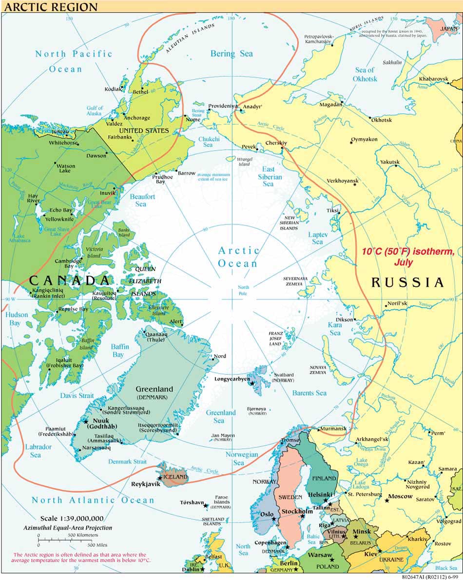
Announced earlier this year, the U.S. Navy has now published its "Arctic Road Map."
The Oceanographer of the Navy, Rear Admiral David Titley, discussed plans for the Roadmap at the Naval Academy last June, as part of the 3rd Symposium on the Impacts of an Ice-Diminishing Arctic on Naval and Maritime Operations (his presentation is available at the symposium website). The road map was produced by the Navy's "Task Force Climate Change," (highlighted on National Public Radio in July 2009) which collaborates with the US Coast Guard and the National Oceanic and Atmospheric Administration.
Monday, November 30, 2009
Tuesday, October 27, 2009
Arctic Council Working Groups and NOAA issue annual Arctic Report Card for 2009
An international group of scientists contributed to the peer-reviewed annual Arctic Report Card, issued this month under the auspices of the US National Oceanic and Atmospheric Administration (NOAA) and working groups within the Arctic Council -- the Arctic Monitoring and Assessment Program (AMAP), Conservation of Arctic Flora and Fauna (CAFF), and Circumpolar Biodiversity Monitoring Program (CBMP). The Report Card summary notes the following key points for 2009:
The Report Card contains sections on Atmosphere, Sea Ice Cover, Ocean, Land, Permafrost, Terrestrial Snow, Glaciers outside Greenland, Greenland, Biology, The State of Wild Reindeer Herds, Marine Mammals, Murres, Fisheries in the Bering Sea, The State of the Barents Sea Ecosystem, The State of Char in the Arctic, and Goose Populations. Peer review is conducted by topical experts of the Climate Experts Group (AMAP) of the Arctic Council.
The full report, Richter-Menge, J., and J.E. Overland, Eds., 2009: Arctic Report Card 2009, http://www.arctic.noaa.gov/reportcard, can be downloaded in PDF form.

Friday, October 2, 2009
The Arctic and the proposed U.S. National Ocean Policy
The September 2009 Interim Report* of the U.S. Interagency Ocean Policy Task Force proposes a National Ocean Policy (pp. 13-17), and identifies “Changing Conditions in the Arctic” (pp. 7, 26, 37) as one of nine priority areas for which strategic action plans should be developed (p. 28). The proposed Policy incorporates the “precautionary approach” and “best available science” among its principles. The Interim Report is open for a 30-day public review and comment period, which ends October 16, 2009.
*NOTE: If the URL for the Interim Report is not responsive, NOAA summarizes some of the report's highlights here.
In the case of the Arctic, the Interim Report calls for the strategic action plan to address “Improvement of the scientific understanding of the Arctic system and how it is changing in response to climate-induced and other changes.” (p. 37).
The Interim Report’s focus on the Arctic is notable and welcome, given the relative dearth of references in other documents leading up to the proposed National Ocean Policy. The slow process leading to an integrated, ecosystem-based national ocean policy traces most recently to two documents: the independent Pew Oceans Commission report in 2003, America’s Living Oceans: Charting a Course for Sea Change, and the 2004 report of the U.S. Commission on Ocean Policy, titled Ocean Blueprint for the 21st Century (whose arctic focus was on fossil-based fuel sources and contaminants concentration). The U.S. Commission was established under the Oceans Act of 2000, PL 106-256, with the mandate to “make recommendations for [a] coordinated and comprehensive national ocean policy.” The Act also required the President to prepare a formal response to those recommendations, which reply took the form of the 2004 U.S. Ocean Action Plan (containing one general reference to the Arctic Ocean). President George W. Bush established the U.S. Committee on Ocean Policy (not to be confused with the Commission on Ocean Policy, above) as part of the Council on Environmental Quality (CEQ) by Executive Order EO 13366, effective December 21, 2004.
The Interim Report of September 2009 is a work product of the temporary Interagency Ocean Policy Task Force established by President Obama in a June 12, 2009 memorandum on National Policy for the Oceans, Our Coasts and the Great Lakes. The Task force members comprise senior officials from departments, agencies and offices represented on the Committee on Ocean Policy. CEQ Chair Nancy Sutley toured the U.S. Arctic in August 2009 with NOAA Administrator Dr. Jane Lubchenco, U.S. Coast Guard Commandant Admiral Thad Allen, and others.
Tuesday, September 1, 2009
A New Seamount
On the midnight watch we passed again by the seamount discovered last week:

Polar stereographic image (75deg N), 6X vertical exaggeration, measured in meters. For other images visit LDEO
To chart our course we combine information from a variety of maps and data sources. Very little of the historical information we rely on was produced with GPS or the kind of multibeam echosounder equipment we are mapping with on HEALY, which provides very detailed images of the areas being mapped. Thus, last week we had only a previous contour line to indicate that a small rise might protrude from the seafloor in that spot. The earlier maps gave no indication that the feature would rise more than 1,000 meters or .6 miles from the seafloor, which is required for a seamount. Christine Hedge, the NOAA Teacher at Sea (from Carmel Middle School, Indiana), was standing watch when she noticed a feature emerging somewhat starboard of the planned ship track, and contacted the scientists in charge who redirected the ship so we could map the feature more completely.
While the seamount rises almost 1,100 meters from the seafloor, its peak is still over one and a half miles below the surface of the ocean (rising from 3710 meters to 2622 meters; the 3791 mark shown in the image above refers to the surrounding seafloor, not to the base of the seamount itself). It is located at 81 degrees 31.57N 134 degrees 28.80W, is approximately 14 nautical miles long, 4 nautical miles wide, and oriented N-S. Other images of the seamount may be found at the Lamont Doherty Earth Observatory of Columbia University.
Larry A. Mayer and Andy Armstrong, of the UNH Center for Coastal and Ocean Mapping/NOAA Joint Hydrographic Center, co-chief scientists for HLY0905, were also leading a mapping cruise on board USCG HEALY in 2003 when the feature now named Healy Seamount (after the vessel and its namesake, Captain Michael Healy) was discovered at 78º40’N, 158º 00’W.
Of the new seamount, Mayer says, in Andrew Revkin's DotEarth report:
"The new seamount is small but unusual in its isolation (at least we think it’s isolated — remember we didn’t know it was there - and I suspect there are many others that we don’t know about) — but this one is sitting in the middle of nowhere in the abyssal plain and will only add to the mysteries of the origin of this part of the Arctic."
Source: NYT DotEarth, September 10, 2009
Subscribe to:
Posts (Atom)