Tuesday, May 5, 2009

Canadian Senate Committee calls for Canadian Leadership on Shelf Issues

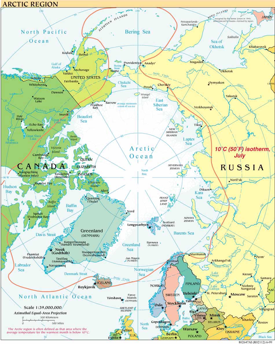
The Canadian Senate Standing Committee on Fisheries and Oceans has published a comprehensive report on maritime issues in the Canadian Arctic: "Rising to the Arctic Challenge: Report on the Canadian Coast Guard".  While focusing on the Canadian Coast Guard, the 73-page report provides a thorough overview of issues ranging from continental shelf mapping to shipping, NORDREG registration,  Resource Canada's Polar Continental Shelf Project and its support of international arctic research,  search and rescue, continuous Inuit use and occupation of the Canadian Arctic, and environmental response in the Arctic.

The Report's discussion of Canadian and other continental shelf submissions in the Arctic Ocean emphasizes the need for international cooperation in mapping and later phases of determining the extent and division of the extended continental shelf (ECS).  Just two excerpts indicate the scope and measured tone of the Report on ECS  issues:

Excerpt I:
"Recommendation 5:  The Committee recommends that Canada assume a leadership role in promoting international cooperation on:  (a) issues relating to continental shelf claims; and (b) the development of a mandatory common code relating to the construction, manning and equipment of all vessels operating in the Arctic Ocean equal to Canada’s domestic standards.  (See pages 43 and 44.)"


Excerpt II:


In discussing the mapping process, the Report states:

"Alan Kessel, Legal Adviser to [Department of Foreign Affairs and International Trade], noted in his presentation to the Committee that Canada had been collaborating with other countries on mapping.  This, he said, not only makes good economic and scientific sense, but will also help avoid the potential overlapping of national claims and reduce the need for future arbitration.  Mr. Kessel also emphasized that the Article 76 process had been incorrectly portrayed in the media as an adversarial scramble for natural resources."


Notwithstanding this measured tone, the very first paragraphs of the Report mention potential challenges to Canadian sovereignty in the Arctic, including possible disagreements with neighbors over continental shelf submissions:


"Canada faces a number of actual and potential challenges to its sovereignty and sovereign rights in the Arctic. Canada and Denmark both claim ownership of Hans Island in the eastern Arctic.  Canada also has longstanding maritime border delimitation problems with its circumpolar 

neighbours.  As for the continental shelf beyond the 200-nautical-mile Exclusive Economic Zone, the extent to which other Arctic coastal countries will lay national claims to the seabed will be a matter to be determined in accordance with specific rules laid down in the 1982 

UN Law of the Sea Convention.  However, disputes concerning overlapping claims could arise." 


This April 2009 report follows on the Committee's excellent Interim Report from June 2008, available here and mentioned in an earlier post.  The Committee's press release on the latest report provides useful background information on the latest report and links to its fourteen Recommendations.

Icebreaking into the Arctic

The USCGC HEALY embarked Barrow, Alaska, in August 2008 to map the US extended continental shelf, or ECS, in the Arctic Ocean (HLY 0805). Healy sailed again from 7 August to 16 September, 2009 (HLY 0905) to continue ECS mapping, joining with the Canadian icebreaker, the Louis S. St.-Laurent. The two vessels mapped together again in 2010 (see HLY1002) and 2011 (HLY1102).

As the only law professor on the science crew, I was along on HLY 0805 and 0905 to better understand
the science behind the legal process that the UN Convention on the Law of the Sea establishes for states making ECS submissions. As to why the US is mapping now, even though it has not yet acceded to the Convention, read on both here, and in the Law of the Sea notes below.

Thanks to
Vermont Law School and especially to Larry Mayer, Director of the University of New Hampshire's Center for Coastal and Ocean Mapping, for making my part in the trip possible.
Thanks, as well, to Adriane Colburn, for opening new windows on and for the deep.