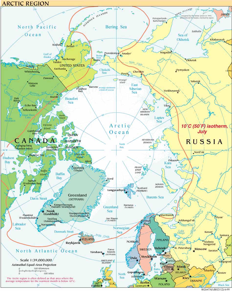
Russia was the first Arctic Ocean coastal state to file a full submission relating to the Arctic Ocean, followed by Norway. (The Comission issued its Recommendations regarding the Norwegian submission in March 2009.) Denmark made a submission with respect to the area north of the Faroe Islands in April 2009 but was not subject to the May 2009 deadline, having joined the Convention in 2004. Neither Canada, which joined the Convention in 2003, nor the United States, which is not yet party, was subject to the May 2009 deadline.
Given the expense and difficulty of mapping the Arctic Ocean, joint mapping activities by various combinations of arctic states continue to take place. Whether any of this cooperation in mapping will lead to eventual joint submissions remains to be seen. At least one source, Canada’s Foreign Affairs spokesman Alain Cacchione, reports Russian interest in a joint submission by Canada, Denmark and Russia.
**The States Party to the Convention created the category of “Preliminary Information” in June 2008 (SPLOS/183) as it became clear that many states, especially those that lack access to the necessary technical support, would have difficulty meeting the May 2009 deadline. As mentioned here last month in the context of Somalia’s preliminary filing with the Commission, that decision was reached at the 18th Meeting of the States Party and specified that States could meet the ten-year filing deadline set out in Annex II to the Convention, article 4, by filing such Preliminary Information.
Martin Pratt, Director of Research, International Boundaries Research Unit, Department of Geography,
Durham University, first posted the following comments on the int-boundaries list
(http://www.jiscmail.ac.uk/lists/int-boundaries.html):"The Bahamas provided preliminary information on the outer limit of the continental shelf on 12 May. So it may be that all coastal states with continental shelf beyond 200 nautical miles and which became parties to UNCLOS before 13 May 1999 have fulfilled their obligations under Article 4 of Annex II of the Convention and subsequent agreements by States Parties."
This builds on Martin's earlier comments:
" By my count there are five States which (i) became parties to UNCLOS before 13 May 1999, (ii) are not zone-locked, and (iii) have not provided at least preliminary information to the CLCS, namely: Antigua and Barbuda, The Bahamas, Guatemala, the Marshall Islands and Nauru.
My sense is that of these five States only The Bahamas might have a physical continental shelf extending beyond 200 nautical miles, but I am open to correction on that point. Equatorial Guinea submitted preliminary information to the CLCS on 14 May, technically missing its ten-year deadline by a day. I don't suppose that it will be penalised when its full submission is eventually considered by the Commission! There are ten States Parties which are not zone-locked whose 10-year clock is still ticking: Nicaragua (deadline = May 2010), Maldives (November 2010), Bangladesh (July 2011), Madagascar (August 2011), Tuvalu (December 2012), Kiribati (February 2013), Canada (November 2013), Denmark (November 2014), Morocco (May 2017) and Liberia (September 2018). Colombia, Dominican Republic, Ecuador, El Salvador, Peru and the USA are non-zone-locked which have yet to become partiesto UNCLOS."


