Saturday, June 18, 2011

Certainty, not Conflict: The Meeting of the States Parties to the Law of the Sea Convention and the Workload of the Commission on the Limits of the Continental Shelf (CLCS)

At the 21st annual Meeting of States Parties to the Law of Sea Convention (SPLOS) this past week in New York, the workload of the Commission on the Limits of the Continental Shelf was on the agenda.  Perhaps the most important observation on the work of the CLCS came from the Australian representative, who spoke of the value of "creating legal and jurisdictional certainty, in perpetuity, regarding the limits of a country’s continental shelf" (see full text of the Meetings Coverage here).  

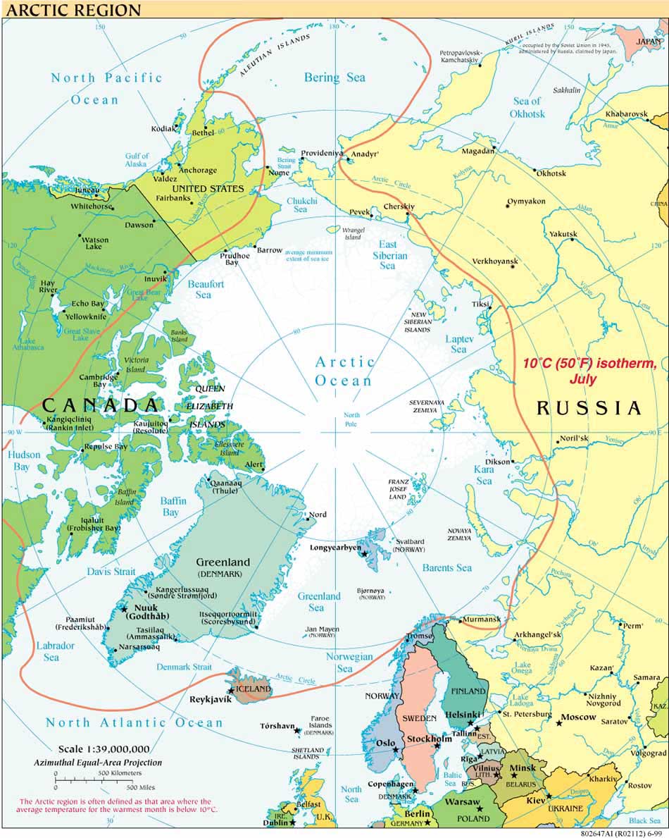
Legal and jurisdictional certainty is the expected outcome of every submission to the CLCS, whether  the Arctic or any other part of the world.  Legal and jurisdictional certainty, not conflict, is another message with which to respond to the misinformed or misleading publicists, scholars and practitioners who continue to raise (incorrectly) the alarum that states in the Arctic are locked in some sort of competition or race for resources as they map their extended continental shelves. They are not.  Arctic Ocean coastal states are all, as I've stated before, following the same dry rules and procedures precisely so they can confirm with certainty the extent and limits of the continental shelf and, thus, the areas in which they have sovereign rights to explore and exploit the shelf's natural resources.

The CLCS has received 56 submissions as of April 29, 2011, the last three being from Denmark/Faroes, Bangladesh and Madascar, yet has adopted only 15 recommendations as of March 30, 2011.  The Commission has also received preliminary information for 45 different shelf areas, adding to its backlog. The SPLOS meeting in New York allowed representatives to discuss varying scenarios for improving the Commission's ability to handle the large case load.  The Acting Chairperson of the CLCS is Harald Brekke of Norway.

Tuesday, April 19, 2011

BP Macondo/Deepwater Horizon One Year Later - Implications for the Arctic Ocean

April 20, 2011: The one-year anniversary of the BP Deepwater Horizon explosion and oil spill in the Gulf of Mexico is as weighty a reason as any for breaking the hiatus of several months on this site.  The DWH disaster not only led to formal reviews of arctic offshore drilling practices in the United States  and in Canada  (which had already begun such a review process);  it also prompted widespread discussion of best offshore practices in other arctic coastal states, and contributed to the convening of an Inuit Leaders Summit on Resource Development. 

The final report of the U.S. National Commission on the BP Deepwater Horizon Oil Spill and Offshore Drilling includes specific reference to implications of the DWH disaster for the Arctic. The Recommendations as well as portions of Chapter Ten in the final report discuss “The Arctic ecosystem, the need for scientific information and informed decision-making, and Alaska native peoples,”  “Arctic Spill Response and Containment,” and “International Standards for Arctic Oil and Gas”.  On the last point,  “the Commission recommends that strong international standards related to Arctic oil and gas activities be established among all the countries of the Arctic.” Recommendations, p. 56.  The Commission staff also prepared a background paper on The Challenges of Oil Spill Response in the Arctic.

Moving in the direction of stronger international standards, the US Secretary of the Interior, Ken Salazar, held a Ministerial Forum on Offshore Drilling Containment  last week (April 14, 2011) to discuss international standards for well containment.  Canada, Norway, The Russian Federation, and the United States -- that is to say: all arctic coastal states save Denmark/Greenland, were there. Angola, Australia, Brazil, Netherlands, New Zealand Mexico, the EU, and the United Kingdom, also attended.

Secretary Salazar will also attend the May ministerial meeting of the Arctic Council with Secretary of State Clinton, where offshore oil and gas development is on the agenda. In 2009 the Arctic Council ministers endorsed “Arctic Offshore Oil and Gas Guidelines” prepared by its PAME (Protection of the Marine Environment) working group.  The Institute for Energy and the Environment at Vermont Law School has prepared studies of how offshore regulations in Canada, Greenland, Russia and the United States measure up to these Guidelines. 

Sunday, November 14, 2010

More transparency on the way for Russian CLCS submission?

On November 13, 2010, the Russian news service RIA Novosti ran this report on the end of the 2010 Russian extended continental shelf cruise (July-October), during which new data was acquired for the Russian Federation's supplemental submission to the Commission on the Limits of the Continental Shelf (CLCS). 

Daria Vasilevskaya, deputy head of the Geology Department of the Natural Resources Ministry  "told RIA Novosti the new research was necessary as details of previous expeditions were labeled secret due to the use of military equipment."

Speaking of earlier cruises on which ECS data was gathered, Vasilevskaya said: 

" 'It was not possible to give a full description of the military technical equipment on account of secrecy.' The new research was done on board the ship Akademik Fyodorov from July through October. Only civilian equipment was used, Vasilevskaya said."

The use of civilian equipment does not automatically translate into any information being more readily available to non-participants in the Russian Federation CLCS process. It does, however, potentially signal somewhat greater  transparency for the parts of the process that are eventually made public.

Thursday, November 4, 2010

Arctic Regional Hydrographic Commission established October 2010

One month ago,  the five arctic coastal states of Canada, Denmark (Greenland), Norway, the Russian Federation and the United States, established the Arctic Regional Hydrographic Commission (ArHC).  The  International Hydrographic Organization has posted the Statement of the Arctic Regional Hydrographic Commission on the IHO website.  


The Arctic Regional Hydrographic Commission, or ArHC, is the 15th such regional commission established since the founding of the IHO in 1921, joining 14 other RhCs and the IHO Hydrographic Committee on Antarctica.


The Statement of the ArHC provides in part:
"Due to climate change the Arctic is undergoing extraordinary transformations facilitating increased natural resource development and marine traffic at a time when little reliable data exists. At present, less than 10% of Arctic waters are charted to modern standards. To meet current and emerging challenges, the Arctic Coastal States represented by their Hydrographic Offices, have recognized the need for enhanced collaboration and coordination of their activities.
By exchanging knowledge and information and by providing quality assured data, the Members of the ARHC aim to facilitate an environmentally responsible exploration of Arctic waters."


The IHO is an intergovernmental and technical organization established in 1921 "to support safety of navigation and the protection of the marine environment."

September 2011 UPDATE: Information on the Second Meeting of ARHC is available here.

Icebreaking into the Arctic

The USCGC HEALY embarked Barrow, Alaska, in August 2008 to map the US extended continental shelf, or ECS, in the Arctic Ocean (HLY 0805). Healy sailed again from 7 August to 16 September, 2009 (HLY 0905) to continue ECS mapping, joining with the Canadian icebreaker, the Louis S. St.-Laurent. The two vessels mapped together again in 2010 (see HLY1002) and 2011 (HLY1102).

As the only law professor on the science crew, I was along on HLY 0805 and 0905 to better understand
the science behind the legal process that the UN Convention on the Law of the Sea establishes for states making ECS submissions. As to why the US is mapping now, even though it has not yet acceded to the Convention, read on both here, and in the Law of the Sea notes below.

Thanks to
Vermont Law School and especially to Larry Mayer, Director of the University of New Hampshire's Center for Coastal and Ocean Mapping, for making my part in the trip possible.
Thanks, as well, to Adriane Colburn, for opening new windows on and for the deep.