2008-08-14
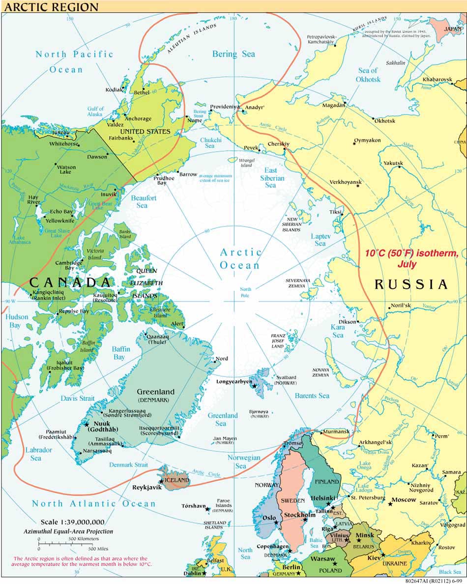
We are on board! Barrow, AK, long a center for arctic science, was full up. Rather than the usual accommodations at the Barrow Arctic Science Consortium, our team stayed in the city gym overnight before being transferred by helicopter to the Healy yesterday. With our team of 38 it was an all day affair, but now all are on board and we are underway to the Chukchi Cap. There we will pick up where Larry Mayer, our chief scientist from CCOM-UNH, left off last year mapping the US continental shelf.


Before we get to the Chukchi Cap, though, we are stopping to retrieve and then re-deploy two buoys that have been recording marine mammal calls since they were dropped a year ago. It is a precarious and dangerous process in arctic waters, especially today as seas are high. Once Ethan Roth (from the Scripps Institute Whale Acoustic Lab) has had a chance to brief us on what the data reveals, I will post a summary here.
I have been assigned the night watch, midnight to 0800. With Larry Mayer and three others on that watch (all trained in something other than law!) we are responsible for making sure the multi-beam and single beam sonar equipment is operating properly and capturing the data we need to determine the contours and extent of the continental shelf.

It is beautiful on the open Arctic ocean. Ice drifts by occasionally, but we have seen only the smallest of pieces so far, none larger than six to seven feet in length. That is all for today: more on the ice later.


