"Nilas" ice formed overnight; in winter its layers accumulate to form new ice

Grease ice from above surrounded by thicker new ice with fresh snowfall on it.
Thursday, 2008-08-28
All trip long we’ve been wondering whether we would ever find a floe of multi-year ice large enough and thick enough for an “ice liberty” – when the crew can get out onto the ice for a few hours. We think we may have found one, measuring almost 17 miles in length by some eight miles wide. As I write (0820), it is about five miles to port. Depending on how much backing and ramming we have to do to get through the ice we are now in, it could take anywhere from an hour to three hours to go that five miles.
All trip long we’ve been wondering whether we would ever find a floe of multi-year ice large enough and thick enough for an “ice liberty” – when the crew can get out onto the ice for a few hours. We think we may have found one, measuring almost 17 miles in length by some eight miles wide. As I write (0820), it is about five miles to port. Depending on how much backing and ramming we have to do to get through the ice we are now in, it could take anywhere from an hour to three hours to go that five miles.
Even if we do not take an ice liberty, we will stop at the floe to deploy some prototype buoys designed for monitoring changing arctic weather conditions over the course of a year. Because there will be less and less ice in the arctic each summer, these buoys are designed to work both in ice and in open water, and can be deployed by air, at sea or on ice. We will plant one on the ice (it has a self-heating drill to settle itself into the ice) and launch one in open water. For more detail on these buoys, see my entry #12 on Walt Lincoln and Peter Legnos, the men who designed and built them.

Above: One of the weather buoys, waiting for enough ice on which to deploy it.
NOAA and the National Ice Center include several more stages, ranging from New, to Nilas (less than 4 inches thick) to Young, to First Year (thin, medium and thick) to Multi-year ice. For more complete definitions see their “Observer’s Guide to Sea Ice”; if you’d like a copy, email to: library@hazmat.noaa.gov.New ice is “Ice in the initial stages of ice formation.” This includes Grease ice: “A thin, soapy-looking surface layer of coagulated [new] ice. Since summer is ending and winter is on its way, we have seen quite a bit of new ice forming, especially in the colder hours of the night watch.
Multi-year or old ice is “Sea ice 3 m (10 feet) or more thick that has survived at least one melting season, characterized by undulating, weathered ridges and a well-defined melt water drainage pattern.” (see below)
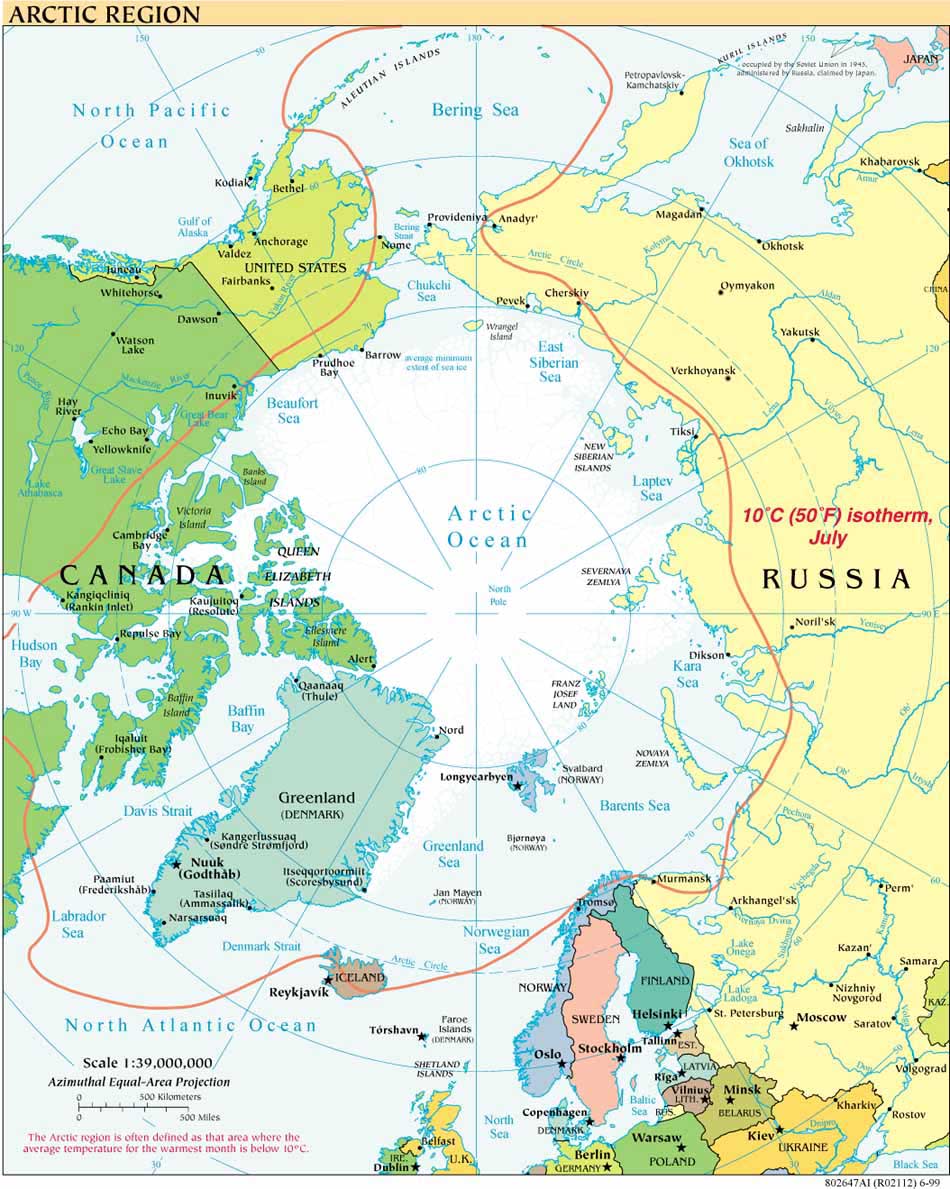
 Most of the arctic multi-year ice this summer appears to be drifting toward the Canadian archipelago and building up there. Here, farther north and west, the mix of open water and multi-year ice has ranged from no coverage near Barrow to full coverage. But most days we travel in and out of open drift (4/ to 6/10ths coverage), close pack (7/ to 8/10ths) and very close to full pack (yep, you guessed it, 9/10ths to 100% cover). Much of the multi-year ice we’ve seen is not very thick; maybe two to three meters. Every so often we have had to break through a major pressure ridge, but our captain says none of these compares to the massive ridges he saw in the Arctic Ocean when he was on the Polar Sea, another USCG icebreaker some 20 years ago.
 It’s now 0922 and we are closing in on the ice floe, but it will be a few hours until anyone can get out on it. Since this is the Arctic after all, I will write more on ice in my next entries. Until then, the last shot, to the right, shows deteriorating multi-year ice, with close pack ice in the background.


