July was a busy month in the United States for Arctic and oceans related matters. Herewith, a tweet-like survey of some highlights, from back to front:
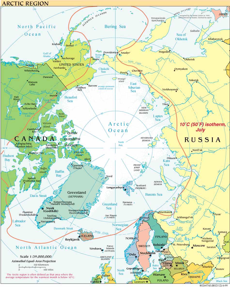
July 26: Final preparations are underway for this year’s continuation of US mapping efforts on the Arctic extended continental shelf (ECS). The 2010 ECS Project mapping cruise, for which the US Geological Survey is the science lead, is scheduled from August 2 - September 6, 2010, on the USCGC Healy. The Healy will travel in tandem again this year with the Canadian Coast Guard icebreaker the Louis S. St.-Laurent for part of the cruise, as reported in the USGS press release
July 22: US and Canadian officials met quietly in Ottawa to discuss resolving the maritime boundary dispute in the Beaufort Sea. For background and a map, see this earlier post.
July 22: President Obama assigned responsibility for Arctic research to the White House National Science and Technology Council (NSTC), which will coordinate activities assigned to the Interagency Arctic Research and Policy Committee (IARPC). IARPC and the US Arctic Research Commission (USARC) were created by the 1984 Arctic Research and Policy Act and consult on arctic policy and planning. The press release is on the USARC website, where the USARC biennial "Report on Goals and Objectives for Arctic Research is also available.
July 19: President Obama issued an Executive Order establishing a National Policy for the Stewardship of the Ocean, Coasts, and Great Lakes. The Order largely adopts the Final Recommendations of the Interagency Ocean Policy Task Force. Among the many steps the order announces, it “provides for the development of coastal and marine spatial plans that build upon and improve existing Federal, State, tribal, local, and regional decisionmaking and planning processes." A related posting is available here.
July 16: Eighty-six days after the April 20, 2010, explosion of the Deepwater Horizon rig at the BP Macondo well in the Gulf of Mexico, oil flowing from the well was, at last, temporarily halted by a capping stack system. The cap continues to hold while efforts continue to close the well permanently. More information is at the official site of the government oil spill response effort.
July 15: The Interagency and Science Advisory Committees of the Submarine Arctic Science Cruises Program (the SCience ICe EXerices (SCICEX) Program) published a new science plan for the Arctic Ocean, drawing on the potential of the U.S. Navy’s nuclear-powered submarines for data collection. The plan under “Part 1: Technical Guidance for Planning Science Accommodations Missions,” is available under publications at the USARC website.
July 14: The House passed HR 2864, a bill that, if approved by the Senate and signed into law, would require NOAA to increase its mapping efforts in the Arctic. See the NOAA Office of Legislative Affairs. The bill was introduced by Rep. Don Young of Alaska. The Arctic Marine Shipping Assessment approved by the Ministerial meeting of the Arctic Council in 2009 provides a good overview of the need for improved mapping of the Arctic Ocean for navigational and other purposes.


